Tuesday, July 7, 2015

Perfect day, perfect bike ride

Tuesday, June 7  Day 3  Peaks of Otter to Meadows of Dan, VA  90 miles, 8740' of climbing

About to ride under a highway near Roanoke. The bridges all look so cool with that stonework. We had sunny skies all day, and the scenery was spectacular. Our 90 miles represented riding from Mile Post 85 to Mile Post 174 ( a little extra here and there gave me another mile), and we climbed about 8700 feet. Along both Skyline Drive and the BRP, there are mileage posts every single mile, so you always know how how far you've gone.
 Early this morning, I took a little walk and got these two photos of Abbott Lake and its surroundings.
Those were the room units, while the lobby was to my left (the 50-yard walk that, during the rain, kept our group from being able to communicate the night before).
The bike ride was so scenic that I will just post many of my photos here and below:
Today we were ABOVE the clouds instead of in them! This was looking west. One of the fun things about today's ride was that we truly were riding on the crest of the Blue Ridge Mts, such that around one bend we'd get a view to the east, and around the next bend we'd get a view to the west.
 
 There's a view to the east, with Chuck.
Chuck took this one of me toward the west, after the clouds had lifted in the valley.
We descended down to where there were some towns, which was new for us so far on the BRP. There's a train going by in this photo if you look closely among all those trees. The only bad part here was the increased traffic. Most of our riding on the 174 miles of the BRP and on Sunday's 105 miles of Skyline Drive has been serene with hardly any vehicles, but not for several miles near Roanoke.
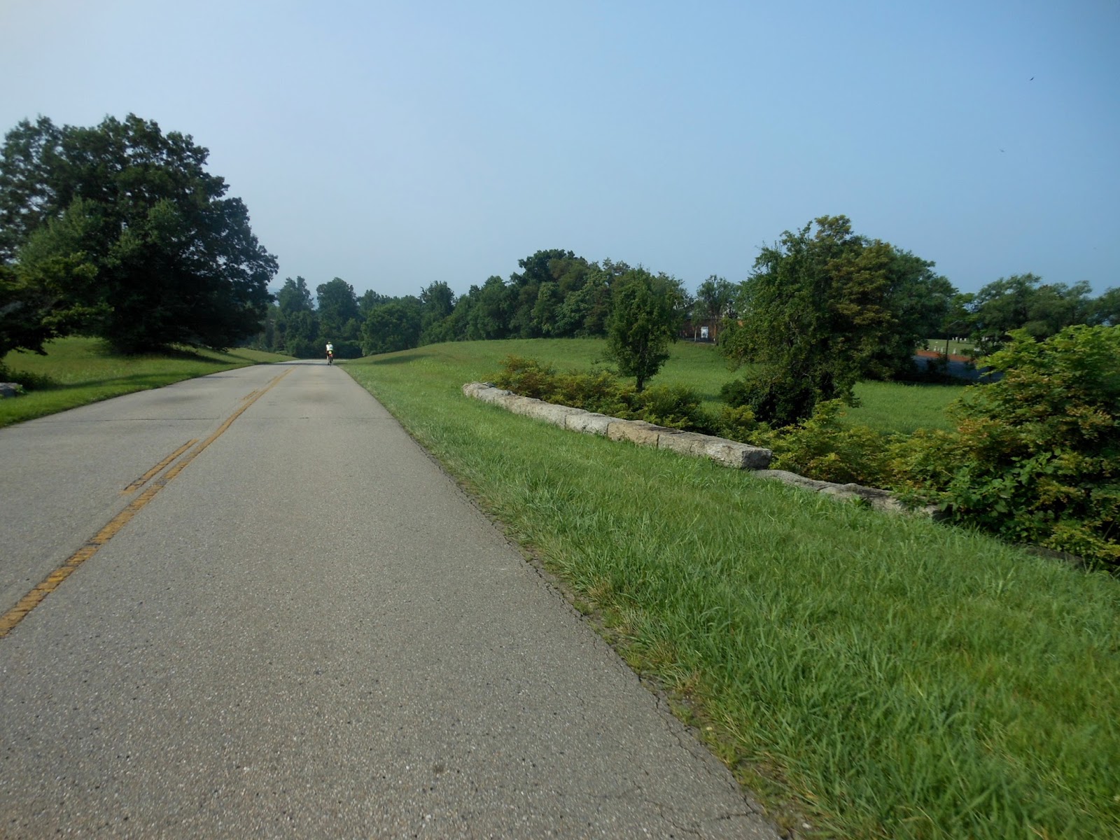
"Our own bike path", which is the title of my chapter from Head Over Wheels about the BRP. How can you not like riding here?
Chuck shot this as I rode past him. Due to my fused neck, I still ride in a very upright position most of the time.
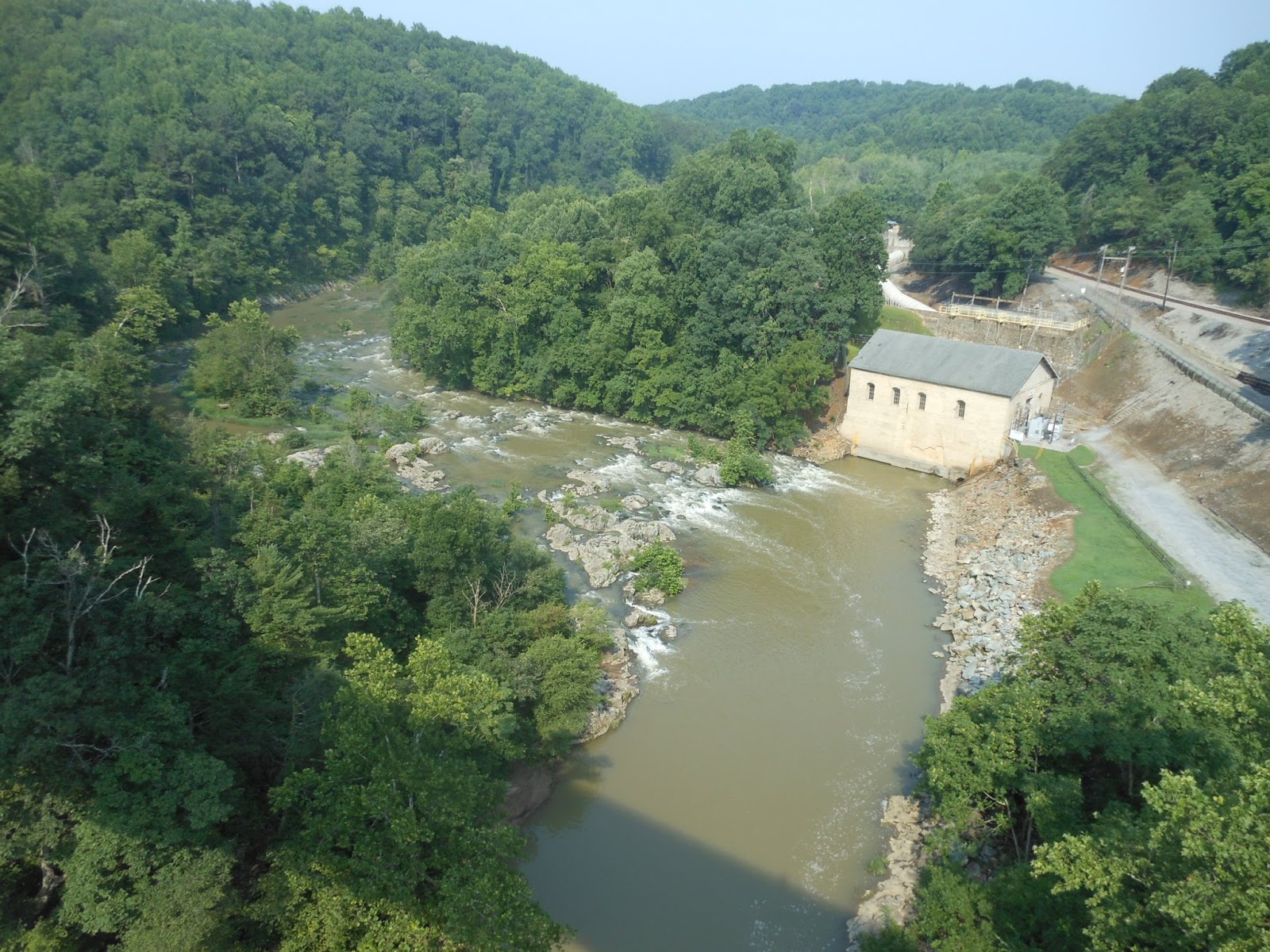
 This is looking up-river from the bridge over the Roanoke River.
And this is looking down-river. A very pretty spot! And at this point, we'd ridden only 30 miles. There's poor cell phone coverage on most of the parkway, but there was strong service here so I got to have a nice conversation with Janet!
 Jill and I are about to ride under another one of those cool stone bridges.
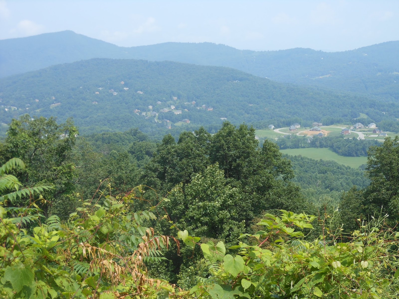
A new housing tract down there being built.
Today we also rode past many ranches and farm land. That's Chuck in front, just after we departed lunch. I should continue to mention that Suzette and Carol lay out the fixins for fabulous snacks and lunches. We will likely gain weight on this tour!
Alvin, Bryan, Chuck and I rode together for a long way after lunch, but I just had to stop to take this picture at what used to be a mill site. The little dam created a pretty pond.
Just another scenic spot on our bike path, with about 15 miles to go.
This cemetery was right next to the BRP, but was accessible by car only from another road. There are very few points along the BRP to get on or off. It was never meant to be a regular commuting road, only a "vacation" parkway for tourists to enjoy. The maximum speed limit is 45 mph, and there are NO stops nor services like stores or fuel stations for the entire 469 miles.
 Love those split-rail fences, which are in other of my photos above, too.
Now THIS was a story! Only five miles from the end of our ride, I stopped to view the scenery at an overlook. Another fellow was telling me how he and his wife had seen us over the past two days as we leap-frogged down the parkway. Then a motorhome pulled up with an expensive, high-end racing bike on the front rack. Out popped this fellow and we got to talking. He's 72 and he had just competed in an international race for firemen and policemen. He was from Montreal, although he and his wife were born and lived most of their lives in France. I asked his wife if she'd take our photo. He quickly ran into the motorhome and emerged wearing his jersey and holding his medal he had just won. He put the medal around my neck for the photo!

Carol drove up with the truck/trailer while this was going on, and met them too and also took pictures of us. After I left, the wife apparently told Carol that at one time, he competed in the Tour de France!

Another funny story: After I went on and had only three miles to go, I ran into Jill fixing a flat tire. She was glad to see me because she had no CO2 cartridge, nor a pump. I secretly was wondering why any cyclist would not have the means to fix a flat tire. But when I gave her my CO2 cartridge, it was used! They are good only once, and apparently I never replaced my empty cartridge the last time I had a flat, which was over two years ago. That was pretty bad of me, but at least I had my pump. Well, it didn't pump any air! It was broken. So, I've been riding over two years without the means to fix a flat tire! Sure has been lucky that I haven't had a flat all that time, since flats are so common. But my attempt to help a damsel in distress fizzled miserably. I had to ride the remaining three miles to let Alvin know, who was out on the road waiting for her, and he drove back to be the knight in shining armor.
When I arrived at the motel, I realized it's where we stayed when I was riding the BRP seven years ago. That's Suzette and Chuck relaxing on the benches. There's a pretty pond just a few yards from our rooms, and I described in Head Over Wheels how we threw sticks into it for three dogs to swim out and bring the sticks back to us. One of those dogs was Abby, Dave and Sandy Thompson's dog, who met us to ride day 3 with us back in 2008. It's all in my book! Such fun to be here again, because this time I have my camera with me.
On bike tours, the riders typically need to wash their clothes to wear a 2nd or maybe 3rd time. Usually the washing is done in the sink or bathtub. The challenge is to get them dry. Here's Bryan's jersey and shorts hanging in the sun hoping to dry out.
And see all those clothes hanging on a line? With a strong chance of rain tonight, they may not dry out! In my case, I brought seven sets of bike clothes, so I am not planning to have to wash anything on this tour.
Dinner here at the motel was just for our group, out on their patio overlooking the pond. Nice evening! That's Suzette, Chuck, Bryan, and Terry. Luckily the motel's Internet connection has been strong enough for me to write yesterday's and today's postings. Now it's time to go to bed!

Tomorrow will be a bit shorter, 75 miles, and less climbing - about 6000 feet. We will stay in Laurel Springs, North Carolina. The weather forecast, however, calls for more rain. Maybe it won't.

Rainy, but wonderful bike riding

Monday, July 6  Day 2   Waynesboro to Peaks of Otter, VA   87 miles, 8970' of climbing

We had lots of rain on our first day on the Blue Ridge Parkway (BRP), but it cleared often enough for a few photos. The bike riding was still wonderful, though. With nearly 9000 feet of climbing, the ride took 6:45 to complete (that's riding time).

We all put our bikes into the truck at our motel in Waynesboro and drove up to the start of the BRP. (I know, this is against my religion, but the decision was made. Seven years ago when I rode the BRP, I did ride up there from Waynesboro, so at least I did it then.) It was only when we reached Rockfish Gap that it was totally socked in with fog and mist. We all took off in the rain, hoping it would end soon. It didn't. 
The rain was not 100% of the time, so I got the top photo during a respite, and our lunch was mostly dry. But then the sun came out after about 60 miles of riding and it warmed up. It allowed me to get this photo of Otter Creek, which flowed next the the parkway for many miles of beauty.
We also rode past a small lake, created by this little dam on the Otter River. A few miles later, we reached the lowest point on the BRP, the James River.
That's the bridge we would be riding over. The elevation here was about 650 feet, and then we would be climbing for 13 miles!
This is the James River from the bridge. Janet and I had been on the James River in 2011 near the end of my Great Loop boating adventure. It's the longest river in VA. Can you tell from the sky what was about to come?
A few yards farther along the bridge I could see the remnants of the old 19th century Kanawha Canal that ran right next to the James River. That's a lock, of course.

After I began riding again, up the 13-mile hill, it started POURING rain in a huge deluge. Normally, no one would ride a bike in that kind of weather, but hey, we were already out there and we needed to go on. Besides, it wasn't cold, so "no problem". It stopped pouring and became a light rain after several miles, and eventually it stopped. Of course I was completely drenched, but I kept plugging away.
Near the end of the climb, I could even take a picture. I can see from the elevation (3510 ft) that I still had to climb 400 feet.
Finally I reached the top! Alvin (in photo) had already arrived, 13 minutes earlier, even though he departed the James River three minutes after I did. He said that despite the rain, he rode up the 13 miles three minutes faster than his previous best. He's been here so many times, even for races, that he keeps records on things like this.

I then rode the remaining 9 miles to our Peaks Of Otter hotel, which is operated by the National Park Service and is right on the BRP.
Chuck and I are awaiting the van on their front porch. It was sure nice to get out of the soaking-wet clothes.
That's the view out our room window with my clothes drying in the sun, and Abbott Lake in the background. It was a very pretty place. I just wish it had remained sunny. The rooms were about a 50-yard walk from the lobby/ lounge/restaurant, and as Jeff and I were walking over to have a beer, a new deluge began - POURING. We had to run to get there quickly so that we would not get our comfy dry clothes all wet again. But when we were done, we were incommunicado with everyone else because there were no room phones nor was there cell phone service. So, due to the pouring rain, Jeff and I were stuck waiting at the restaurant, wondering if anyone else knew we were there, and the rest of them were waiting for the rain to stop so they could go to dinner. By then it was very late, too, because Mark and Terry arrived a fairly long time after we others had.

I finally was able to borrow an umbrella from the hotel, and found everyone else and learned they were waiting for the rain to let up, which it did, and we finally got to have our dinner and go to bed by 10:00. No Internet service strong enough for a blog, so I'm writing this on the next night farther up the BRP.


Sunday, July 5, 2015

Glorius Skyline Drive

Sunday, July 5   Day 1    Front Royal to Waynesboro, VA    112 miles,  10,856' of climbing

Here's the group getting ready to depart this morning at 7:30. Left to right: Mark, Suzette, Chuck (behind Suzette), Terry in front, Jill, Carol in front, Alvin at back, me, Jeff, Bryan. It's a great group of cyclists!

We needed to ride only a half mile to the park entrance:
The morning was nice except for the fog. I kept having to wipe my glasses because they got misted so quickly, and this went on for about the first hour. The fog also meant there was nothing to see at the many scenic viewpoint turnouts. But through the mist, Alvin and I saw a bear running across the road. Luckily, Alvin pointed it out to me, because I was not looking that far ahead.
This is the only picture I took during the first 25 miles. Most of the road was continuously uphill. Our first SAG stop was at 24 miles, after which the rest of the day was up and down, sometimes long hills, sometimes short. But the roadway was always beautiful.
Alvin took this photo of me AFTER the fog began to lift, but as you can see, it was still hazy (until the afternoon). By the way, Alvin is an exceptionally fast cyclist - a racer too. This is his 8th time he's done the Skyline Drive/Blue Ridge Parkway ride.
We had lunch at Mile 51 (there is a mileage post next to the road for every single mile), at a visitor center called Big Meadow. This photo shows how it got its name.
Lunch was super - Suzette and Carol put out all sorts of goodies for us to make sandwiches and snack and drink. Bryan is eating mid left, then there's Jill, Suzette, with Jeff eating in the foreground, and Alvin's shoulder to the right.

During the afternoon, the ride was more scenic, and still very hilly. I will just post pictures; they say a thousand words:
 

 Bryan and Chuck.
 Hazy, I know, but this was as good as it got today. Better than the thick fog we had in the morning.
 Here come Jeff and Chuck up one of the many ascents.
And here they are up close as they pass me.
This is the marker used for the Appalachian Trail. It crossed Skyline Drive numerous times today, and in each case they had this post with the AT symbol. The Trail will be crossing our path many more times during the rest of our tour on the Blue Ridge Parkway.

After the final rest stop at Mile 79.5, I told the others that I had to hurry on to try to get to the motel by about 5:30 to meet Bob Riggs and his friend Kevyn for dinner at 6:00. I did speed off, but Alvin left much later and still caught and passed me, and then waited six minutes for me at the end of the Park. Wow, he is fast!

Once I descended the hill and reached our motel in Waynesboro, I quickly showered and barely was ready by 6:00. It was wonderful to see my long-time friend Bob, who lives in nearby Charlottesville, and to share dinnertime with him and Kevyn. My riding time for the day was 7:40, and my total time for the ride from motel to motel was 10 hours. A long day out there, but it was a super ride. Temperatures were fine, and only a little humid -- but humid enough to have me perspiring more than on any ride so far this year.
I even autographed his copy of my book, Head Over Wheels, sitting there on the table.

Tomorrow's ride will be the first 85 miles of the Blue Ridge Parkway (BRP), with about 9600 feet of climbing. Just the hill back up to the start of the BRP is pretty long and steep. Bob Brown and I did it when I last rode the BRP in 2008, and I remember. We will be staying at a special Park-run hotel right on the Parkway called Peaks of Otter. We stayed there in 2008 also.

SPECIAL NOTE: Suzette and I discovered today that we know each other from back in our food-industry days!  She worked for P&G and used to serve on some of the same scientific trade association committees as I did. What a small world!


Saturday, July 4, 2015

Skyline Drive and Blue Ridge Parkway - Tour 2

Saturday, July 4th    Day 0 of Tour Two    We start tomorrow

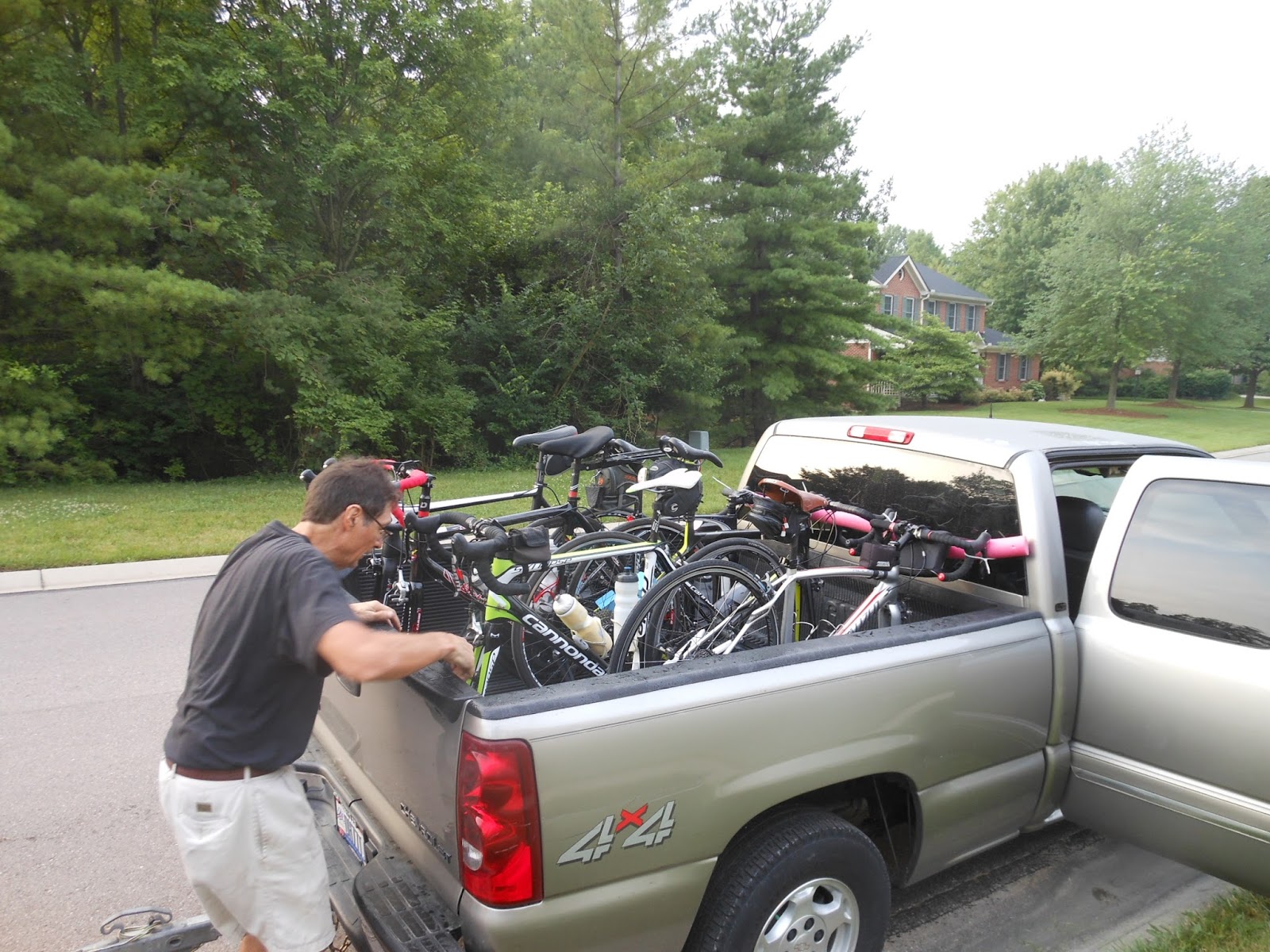
Our group of 10 are in Front Royal, VA (about 60 miles due west of Washington, D.C.) to begin our seven-day tour. The photo shows Chuck checking our six bikes in his truck this morning in Cincinnati.

Skyline Drive and then the Blue Ridge Parkway are a continuous road heading generally south for about 610 miles ending in North Carolina, almost in the Great Smokey Mtns. The interesting part is that there is about 65,000 feet of elevation gain. The road is never flat -- you're either climbing or descending the entire way.

Eight of us drove in two vehicles from Cincinnati, leaving at 8 am this morning. The other two riders were already here. One had just arrived here by bike, riding the entire tour in the opposite direction. Now he will turn around and do it again, but this time he won't have to carry all of his gear. He rode here UNsupported, carrying about 70 lbs of stuff. Now he will let the two vehicles carry all of his things.

Tomorrow's ride will be the entire 105-mile length of Skyline Drive, through the Shenandoah National Park, and ending in Waynesboro. We will climb almost 11,000 feet. The weather looks like it will be pretty good. (Then on Monday we begin the Blue Ridge Parkway.)

We have three riders from the Cincinnati area - Chuck, Bryan, and me. Chuck's wife Suzette will be one of the vehicle drivers (a support van, or "SAG" van). We have three riders from the East Bay area of San Francisco Bay - Jeff, Mark, and Terry. Terry's wife Carol will be the other SAG driver. Alvin and Jill are from Washington, NC.
 Here we were this morning all ready to close up and roll off on our all-day drive to Virginia.

This tour will be a reunion for me, since I rode the Blue Ridge Parkway in Sept, 2008. As most of you know, that ride confirmed my triumphant recovery from my broken neck, as described in my book, Head Over Wheels. I am looking forward to riding it again and remembering the emotions I felt when I realized so many years ago that I had successfully "beaten" my near-death accident.

I have ridden only a small portion of Skyline Drive, however, so most of it will be a new experience for me.
Here we are getting final instructions for tomorrow morning's schedule. It's not a good picture, so I will get better ones tomorrow so you can see my nine friends up closer. Left to right: Terry, Jeff, Mark, Chuck, Jill, Suzette, Carol.